When catastrophic glacial outbursts breach high-altitude river systems, the ensuing cascade tests both physical infrastructure and administrative information architecture. Following the severe flash floods along the China-Nepal border originating in the Tibetan Autonomous Region, administrative responses diverged sharply across the frontier. While Nepal experienced decentralized, chaotic information flows paired with high-casualty reporting, Beijing deployed an advanced operational model of digital containment. This divergence exposes how modern state apparatuses manage crisis optics, transforming environmental disasters into exercises in narrative control.
The Mechanics of Algorithmic Eradication
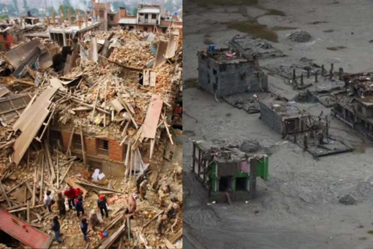
The immediate aftermath of the August 26 disaster featured standard citizen documentation: mobile phone video recordings of mudslides engulfing border infrastructure, structural collapses, and stranded populations at Gyirong Port. Within hours, these assets encountered a structured technological filter.
Modern content moderation in this operational theater relies on three distinct technical layers:
- Visual Hashing and Video Fingerprinting: Automated systems evaluate structural pixel arrangements in uploaded media. Once a specific angle of a collapsing border gate or a swollen river channel is flagged, identical files face automated interception at the application programming interface level, preventing peer-to-peer transmission even within encrypted private messaging channels.
- Keyword and Context Suppression: Geographic identifiers paired with terms denoting structural failure or emergency status are throttled. The objective shifts from reactive takedowns to preemptive friction, ensuring organic search queries yield administrative bulletins rather than primary-source media.
- Saturated Narrative Flooding: Erasure is paired with mass deployment of sanctioned state media assets. High-resolution aerial drone footage, official scientific breakdowns of high-altitude glacial mechanics, and tightly framed summaries of central leadership directives displace raw citizen testimony from algorithmic recommendation engines.
This tripartite mechanism shifts state censorship away from blunt blackouts toward precision surgical removal. By preserving connectivity while sanitizing content, the system minimizes user friction while successfully neutralizing unauthorized ground-truth distribution.
The Institutional Cost Function of Opacity
The enforcement of strict information boundaries around Himalayan border regions generates distinct operational trade-offs for state actors. While internal political stability and institutional face-saving are preserved through narrative discipline, external coordination suffers from severe structural friction.
Cross-border disaster management relies on synchronized hydrological data and transparent damage assessments. When upstream data regarding barrier lakes, glacial displacement volumes, and localized tributary blockages remain classified or severely restricted, downstream neighbors—principally Nepal and India—lose predictive lead time.
The cost function operates along two axes:
- Information Asymmetry: Administrative bodies possess high-resolution data regarding structural integrity and rescue deployment logistics within the Tibetan perimeter, yet share only sanitized aggregate metrics. The official reporting of minimal casualties on the Chinese side contrasted starkly with thousands of missing individuals and hundreds of confirmed deaths reported in equivalent terrain across the border. This statistical divergence breeds international skepticism and degrades cooperative disaster response frameworks.
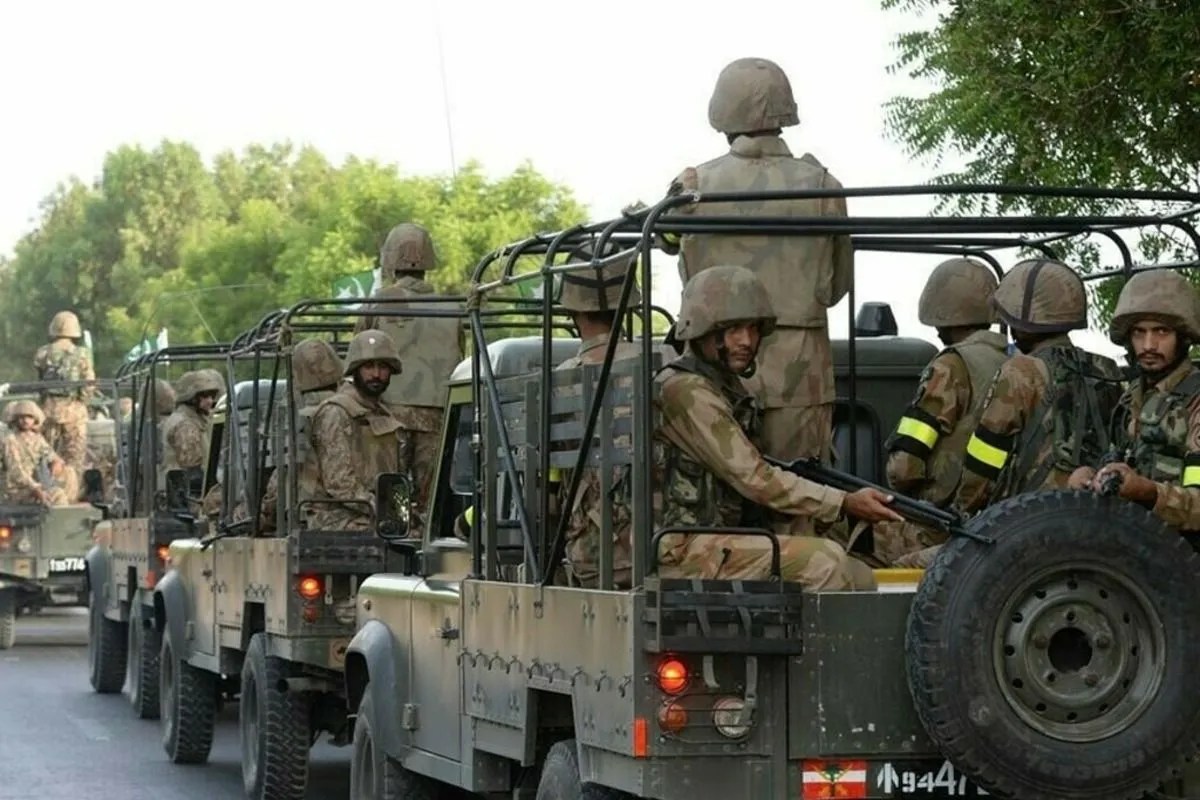
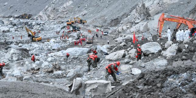
- Reputational Deficit: By prioritizing absolute containment over transparent humanitarian disclosure, state agencies miss opportunities to demonstrate functional competence. The deployment of specialized emergency personnel and heavy equipment by the People's Liberation Army represents a high-capacity operational asset; however, the lack of verifiable reporting turns a potential demonstration of crisis response capability into an international vacuum of accountability.
Systemic Vulnerabilities in High-Altitude Border Zones
The recurrence of catastrophic flooding in structural chokepoints like Gyirong Port—experiencing severe disruption across successive flood seasons—highlights an underlying physical vulnerability that information quarantines fail to resolve. Climate-driven glacial retreat and permafrost degradation create unstable high-altitude reservoirs prone to sudden catastrophic drainage.
When administrative focus centers on scrubbing digital archives rather than transparently addressing systemic environmental risks, infrastructural planning remains reactive. The suppression of recurring historical data prevents public scrutiny of long-term ecological shifts, isolating local municipal bodies from broader scientific resources needed to engineer resilient cross-border defenses.
Strategic Infrastructure Realignment
To mitigate future high-altitude border crises, operational protocols must separate emergency technical cooperation from geopolitical information security. Regional disaster response requires dedicated, automated telemetry channels that bypass standard administrative censors during acute ecological events. Establishing mandatory data-sharing pacts for trans-boundary river basins ensures that early-warning metrics clear bureaucratic hurdles before structural breaches occur. Operating a secure, non-politicized data pipeline remains the primary operational defense against the compounding costs of environmental disasters in fragile mountain ecosystems.