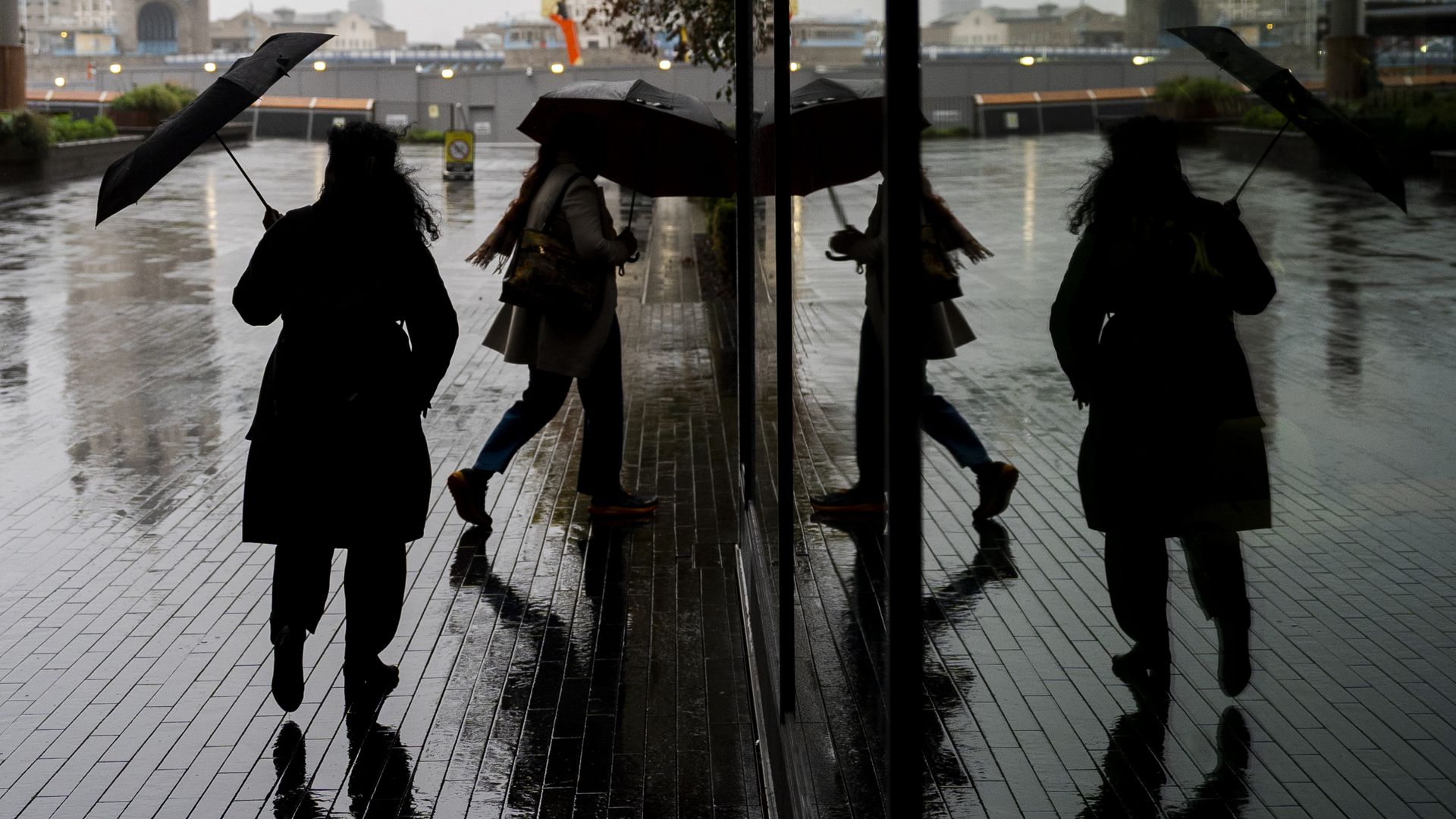
Weather warnings for strong winds remain active across affected regions as Storm Boelo reaches peak intensity, bringing sustained gales, localized gusts capable of snapping mature timber, and widespread disruptions to transit and power grids. While standard meteorological bulletins focus on immediate wind speeds and coastal tide surges, the real story behind Storm Boelo lies in the atmospheric mechanics driving its rapid intensification and the aging infrastructure struggling to absorb these repeated blows.
Forecasts confirm that the primary danger is no longer just the initial frontal passage. As the low-pressure core deepens and begins to occlude, a phenomenon known as a sting jet or tight pressure-gradient squeeze on the trailing flank can produce the most destructive gusts hours after the heaviest rain has cleared. Residents and municipal crews who mistake a brief lull in precipitation for the end of the storm face the highest risk of injury from falling debris and downed overhead lines.
The Anatomy of a Peak Wind Event
Most people read a wind warning as a simple speedometer reading. They see a number—60 miles per hour, 75 miles per hour—and mentally compare it to driving down the highway with the window rolled down. That comparison is fundamentally flawed.
Wind force does not scale linearly with speed. It scales with the square of the velocity. A 70-mile-per-hour gust does not exert 16 percent more force than a 60-mile-per-hour gust; it exerts roughly 36 percent more kinetic pressure against every roof tile, highway sign, and oak canopy in its path. When Storm Boelo peaks, that exponential jump is what separates a noisy night from a regional structural failure.
Why the Trailing Edge Hits Harder
The architecture of an extratropical cyclone like Boelo creates a deceptive timeline. Ahead of the warm front, barometric pressure drops steadily, cloud decks thicken, and rain begins to fall. The wind builds gradually, giving commuters and emergency planners a false sense of predictability.
Then the cold front slices through. Behind that boundary, cold, dense air rushes downward from the upper troposphere to replace the rising warm air at the surface. This downward momentum transfer drags high-velocity jet stream winds straight down to ground level. Because the air mass behind the front is unstable and convective, gusts become erratic, violent, and directional shifts happen within seconds.
A tree root system anchored in soil already saturated by days of preceding rainfall cannot resist sudden, multi-directional torque. The soil turns into a lubricant. Even healthy trees with full root balls simply pivot out of the earth, taking buried fiber-optic cables and neighborhood transformers with them.
Why Modern Infrastructure Keeps Failing Under Familiar Conditions
If you look at historical meteorological records, the raw barometric numbers attached to Storm Boelo are severe, yet rarely unprecedented. Storms of similar central pressure have crossed these latitudes for centuries. What has changed is not merely the atmosphere, but the vulnerability of the built environment sitting beneath it.
Over the past three decades, regional power distribution networks have expanded rapidly to accommodate suburban sprawl and rising electricity demand, often relying on wooden utility poles and uninsulated overhead conductors because burying lines costs roughly five to ten times more per mile. Those grids were engineered to withstand historical wind load averages, leaving razor-thin margins when gusts repeatedly test the upper limits of their design tolerances.
The Cascading Failure of Transit and Supply Chains
When a single high-voltage transmission line trips or a major rail corridor is blocked by fallen timber, the disruption does not stay localized. Modern logistics run on just-in-time inventory models with almost zero buffer stock.
- Rail Networks: Overhead catenary wires are extraordinarily sensitive to airborne debris. A single tarp or tree branch wrapped around a line forces engineers to de-energize an entire sector, stranding rolling stock out of position for days.
- Aviation Hubs: Crosswind limits on commercial runways are absolute. Even if visibility is clear and the runway surface is dry, sustained crosswinds exceeding 35 to 40 knots ground regional fleets, creating crew displacement bottlenecks that ripple across continents long after Storm Boelo dissipates.
- Maritime Ports: Container cranes cannot safely operate once sustained winds cross specific safety thresholds, typically around 40 to 45 miles per hour. Port closures back up vessel anchorages and delay perishable freight.
Consider a hypothetical scenario involving a regional hospital relying on a primary substation fed by an overhead corridor running through a wooded valley. If a single 80-foot pine falls across that corridor during peak gusts, the facility automatically switches to backup diesel generators. Those generators are reliable, yet they depend on road access for fuel resupply. If downed trees simultaneously block the secondary highways leading to the hospital, an electrical problem becomes a critical medical logistics crisis within 36 hours.
The Communication Gap Between Meteorologists and the Public
Meteorological agencies have never been better at predicting wind trajectories. High-resolution ensemble models can pinpoint the core track of a system like Storm Boelo days in advance with remarkable precision. Yet warning fatigue remains one of the deadliest variables in severe weather management.
When weather alerts are issued broadly across entire administrative regions rather than tightly drawn around specific topographical risk zones, people tune them out. A resident living in a sheltered valley experiences 45-mile-per-hour gusts and concludes the forecast was exaggerated, unaware that ten miles away on an exposed coastal headland or elevated ridge, funneling effects are pushing wind speeds past 80 miles per hour.
Topographical Acceleration and Urban Canyons
Wind does not flow evenly across a map. Hills, valleys, and dense city blocks act like nozzles and baffles.
When air is forced over a ridge or squeezed through a narrow valley, the Venturi effect accelerates the flow, dramatically increasing local wind speeds beyond what regional weather stations report. The exact same fluid dynamics occur in downtown districts where high-rise towers channel gusts down to street level, turning ordinary intersections into wind tunnels capable of knocking pedestrians off their feet and turning loose construction materials into projectiles.
Standard weather broadcasts rarely explain these micro-climatic multipliers. They deliver a blanket warning, leaving individuals to guess whether their specific street sits in a sheltered pocket or a high-velocity wind corridor.
What Actually Works When Peak Winds Arrive
Surviving and minimizing property damage during the peak of Storm Boelo comes down to eliminating kinetic exposure before the pressure gradient tightens. Once gusts exceed 50 miles per hour, stepping outside to secure loose property is no longer maintenance; it is a severe physical hazard.
- Isolate Unsecured Mass: Anything with a large surface area and low weight—patio furniture, trash bins, trampolines, unsecured roofing materials—becomes airborne in severe gusts. Moving these items indoors or anchoring them to load-bearing structures prevents them from acting as battering rams against ground-floor windows.
- Manage Internal Air Pressure: Keeping every exterior door and window tightly latched is critical. If a windward window fails during a peak gust, air rushes into the building, spiking internal pressure while the wind flowing over the roof creates upward suction. That combination of internal push and external pull is the primary mechanism that lifts roofs off residential structures.
- Prepare for Extended Grid Isolation: Assume power restoration will take longer than initial utility estimates suggest. Crews cannot safely operate bucket trucks until sustained winds drop below strict OSHA and industry safety limits, meaning actual repair work cannot even begin until Storm Boelo has fully cleared the area.
The Economics of Storm Recovery and Insurance Friction
After the winds subside and emergency crews clear the primary arteries, a quieter, slower crisis begins in the claims departments of property insurers. Wind damage sits at the center of some of the most contentious disputes in residential and commercial insurance.
Policies frequently distinguish between damage caused directly by wind and damage caused by water intrusion—such as wind-driven rain entering through an uncompromised roof vent versus rain entering through a hole punched by a falling limb. Proving the exact sequence of failure requires timestamped photographic documentation taken before and immediately after the event. Without clear evidence showing a roof was intact prior to the storm's peak, property owners often face protracted battles over depreciation deductions and pre-existing wear-and-tear exclusions.
Municipalities face an equally bleak balance sheet. Emergency overtime for public works, debris clearance contracts, and grid stabilization eat through annual maintenance budgets in a single 48-hour window, deferring routine infrastructure upgrades that would have made the community more resilient to the next storm.
Living With Persistent Atmospheric Volatility
Storm Boelo will eventually track eastward, fill in, and lose its identity on synoptic weather charts. The warning banners will come down, transit schedules will gradually normalize, and repair crews will splice the last severed conductors.
Yet treating Boelo as an isolated anomaly misses the broader structural reality facing modern communities. We have built an interconnected, high-density society atop an energy and transit backbone designed for a gentler, slower era, and every time a deep low-pressure system sweeps across the coastline, the gap between our engineering tolerances and atmospheric reality gets exposed in real time. Until grids are hardened, drainage and forestry management are funded proactively rather than reactively, and warning systems communicate localized physics instead of broad regional averages, every peak wind warning will carry the exact same predictable price tag.