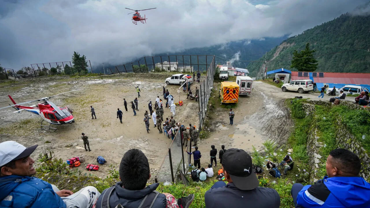
Thirty-eight minutes. That is all the time a massive wall of ice, rock, and water gave communities in Rasuwa before slamming into homes and washing away lives.
When a glacier in the Lhende valley collapsed at 8:37 AM on August 26, it triggered a catastrophic flash flood that tore through northern Nepal. Yet, government text alerts didn't reach mobile phones until 9:15 AM. For families living directly downstream, those thirty-eight minutes represented the razor-thin margin between survival and disaster.
People want to point fingers. Bureaucrats blame the rugged terrain, while experts argue that modern early-warning systems shouldn't fail this hard. But the real issue goes much deeper than a delayed text message. It exposes a structural blind spot in how mountain nations handle cross-border environmental threats.
The Anatomy of a Delayed Response
Why did it take nearly forty minutes to sound the alarm? The breakdown happened in stages, rooted in outdated technology and rigid bureaucratic mandates.
First, the Department of Mines and Geology picked up seismic tremors when the glacier gave way at 8:37 AM. But seismographs are built to detect earthquakes, not chunks of ice breaking off a mountain. Because the frequency didn't match standard tectonic activity, operators didn't flag it as an emergency. They stayed quiet because staying quiet fits their specific job description.
Next, the floodwaters raced toward the Syabrubesi hydrological station on the Bhotekoshi river. At 8:50 AM, the surge completely obliterated the river gauge. That gauge was designed to track slow, seasonal water level changes during monsoon rains, not an inland tsunami moving at breakneck speed. It didn't trigger an automated warning; it simply broke.
Local officials only grasped the reality of the threat around 9:00 AM, scrambling to ring doorbells and use local police radios because communication towers had already been knocked out. By the time mass SMS alerts finally hit phones at 9:15 AM, the muddy torrent had already swept through vulnerable hamlets.
Why Cross-Border Blind Spots Kill
You cannot manage a river system that ignores international boundaries. The Lhende Khola originates across the border in Tibet before feeding into Nepal's major river networks.
Nepal maintains solid data-sharing protocols with India regarding seasonal monsoon flooding, but a comparable operational warning framework with China simply does not exist. When a mountain disaster starts miles upstream in another country, local authorities in Nepal are left completely in the dark until the water crosses the border.
Sensors might exist on the upper ridges, but without automated cross-border data links, those sensors are useless to the people living downstream. Mountain communities deserve real-time data sharing that operates faster than a diplomatic handshake.
Moving Past Isolated Sensors
Having a few isolated gadgets scattered across the Himalayas does not constitute an actual early-warning system. Experts point out that true safety requires a fully integrated chain: real-time observation, automated sirens, cross-border data feeds, and instant mobile override alerts that can pierce through silent phone settings.
Hydropower development has surged across these fragile river valleys, bringing infrastructure and workers directly into high-risk zones. When disaster strikes, the economic and human toll scales up instantly.
Fixing this means accepting that climate change is rewriting the rules of the mountains. Glaciers are melting and destabilizing at unprecedented rates. Waiting for a human operator to verify a seismic anomaly or manually type out a text warning guarantees future tragedies. Survival in the shadow of the Himalayas requires automated, borderless defense systems that react in seconds, not hours.